Site
Kitui county is situated in southern Kenya 150 km east of Nairobi, covering approximately 20,000 km2 (Aerts 2018). The elevation of the district is between 400 and 1800 m, with hilly ridges separated by relatively flat areas (Aerts 2018). Geologically, the ground mainly consists of clays and silts with low permeability, and so only a small fraction of rainfall infiltrates to the subsurface and majority flows as overland flow (Aerts 2018).
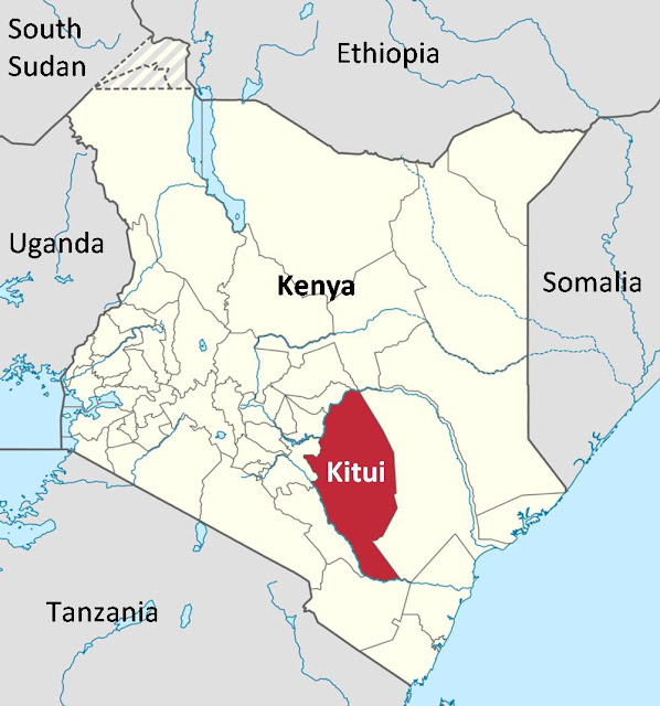 |
| Figure 1. Location of Kitui County |
The area has a semi-arid climate and is generally hot and dry throughout the year ranging from 14-34°C (Moise et al. 2019). Precipitation from year to year is highly erratic and unreliable both spatially and temporally, and takes on a bimodal pattern with two intense rainy seasons, one erratic and unreliable long-rain season from April to June, and another more reliable short-rain season from October to December (Aerts 2018). In addition to this, the area is subject to high evaporation rates of 1500 to 1600 mm per year (Moise et al. 2019). Major water sources are ephemeral rivers across the county which are dry during the dry season (Figure 2). This causes the region to suffer from prolonged water shortages, with droughts every 4 to 5 years.
 |
| Figure 2. River drainage system of Kitui county (Kitheka 2016) |
The district has approximately 555,000 inhabitants of which in 1997 58% live beneath the poverty line of US$2 per day, making it one of the poorest regions in Kenya. The livelihood of these communities rely mainly on rainfed agriculture, while irrigated agriculture takes place on small plots on the riverbanks. It is during the short-rains season that farmers grow their main food groups. Around 6% of inhabitants have access to potable water (Aerts 2018) and the per capita water consumption in the county is around 12L per day (Moise et al. 2019). Other economic activities include pastoral grazing, charcoal burning, brick making and basket breading.
Water is an essential commodity, forcing communities to maximise rainwater harvesting and storage during dry periods to reach demand. In times of water scarcity, many residents spend many hours collecting water from those systems, walking 7 km on average and up to 20 km during drought periods (Moise et al. 2019).
Effect of Climate Change
Climate change and variability is exacerbating water stress through changes in precipitation and evaporation. It is projected that temperature in Kitui will rise by 2-4C in this century, and this will have drastic effects on precipitation events (Aerts 2018). Historical meteorological data shows that climate change is already an issue in the Kitui District. Figure 3 shows the annual precipitation (bars) and mean of the past 7 years (black line) as a deviation from the long term mean (x-axis). This shows that the district has become much drier since the 1970s and will continue to unpredictably fluctuate with greater annual precipitation, potentially rising by 10% by the second half of the century (Lasage et al. 2008).
 |
| Figure 3. Deviation of annual precipitation and running mean for 7 years compared to the long term mean in Kitui for the period 1904–1990 (Lasage et al. 2008). |
So how do communities in Kitui adapt to this variable climate? One interesting method employed is the creation of sand dams.
What are Sand Dams
Sand dams are essentially a reinforced concrete wall 10-100 m wide and 4-6 m high, built across an ephemeral sandy river and directly on impermeable bedrock. Seasonal intense rains quickly fill up the dam with water and sediment, of which heavier sand sinks to the bottom and accumulates while silt is washed downstream. This results in the space upstream to the dam to be filled up with sand creating an aquifer, which can then be used to store water. This water can then be accessed by a pump, well, or scooping from the artificial sand aquifer (Aerts 2018).
 |
| Figure 4. Schematic of a sand dam (Ritchie et al., 2021) |
Sand dams bring the benefit of protecting the water from contamination and high evaporation losses (Lasage et al. 2008). The sand itself also acts as a filter and reduces bacteria and contaminants. In addition, due to lack of still standing water there are fewer mosquitoes and thus a lower chance of malaria. Sand dams are used to bridge the dry periods between rainy seasons, conserving soil moisture and thus increasing soil fertility, providing the opportunity to establish tree and vegetable
nurseries for agriculture. They are a simple, cost-effective, low maintenance technology that retains rainwater and recharges groundwater (Water Project).
Outcome
The Sahelian Solution Fonundation (SASOL), a local NGO, assists communities in building these sand dams with the goal to reduce the distance to clean and reliable water sources to less than 2 km (Lasage et al. 2008). Around 500 sand dams have been developed over the past 10 years to store water for the dry season, with the majority located at higher elevations where there is more precipitation and agricultural potential (Aerts 2018). The responsibility of the project is placed on the community on the get go (on average consisting of 20 families) and a site committee is selected by the community, facilitating direct control over the water resource by the community it is meant to benefit. SASOL provides material and technical knowledge while the community provides local building materials and physical labour. Maintenance of the dams is also the responsibility of the farmers that use the water from them, which is usually upheld as they built the dam themselves (Lasage et al. 2008).
With a reliable supply of water in proximity, time is no longer spent on collecting water and instead investing it in sustainable land management, diversifying and increasing farm yields and improving food security. The average income of farmers facilitated with sand dams rose to more than 9000KSh (USD 120) while only a small percentage of the total river runoff is used (Lasage et al. 2008).
Challenges
However this solution is not without its challenges. This recent paper by Yifru et al. (2021) states that 50% of sand dams in Africa overall are non-functioning. This is often due to sedimentation and storage problems, such as lack of coarse sand material and low water yield, in other words, an issue of choosing appropriate sites, or changing conditions at sites. In addition some dams are found to lose a large amount of their stored water to evaporation and seepage, potentially due to fine particle size in the sand mixture and the aquifer being too shallow.
While improved water quality is a stated benefit of sand dams, it is not always the case especially with hand-dug scoop holes for water extraction. This method particularly exposes the water to contaminants such as animal manure and plant decay, potentially building up dissolved solids, nutrients and bacteria.
There are also concerns about downstream effects of cascading sand dams, where the dams are built consecutively one after another along the river, despite the dams claiming to retain only 1-4% of river runoff. However this point in itself is contentious as it is extremely difficult to estimate the volume of water stored behind and around a sand dam, despite its widespread use. Therefore more research and monitoring may be needed to fill in these knowledge gaps, especially under the uncertainty of climate change.
Comments
Post a Comment